Flats in Els Plans, Andorra

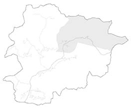
Towns of Canillo
You may also be interested:

Andorra Sotheby's International Realty has a total of 0 properties to buy the village of Els Plans. We are the real estate agency in Els Plans that can offer you the service you need to find the house or flat you are looking for with the maximum satisfaction.
Featured properties
Living in Els Plans, plains with privileged views to the Ransol valley
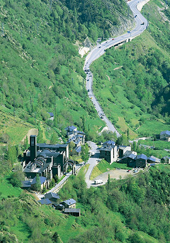
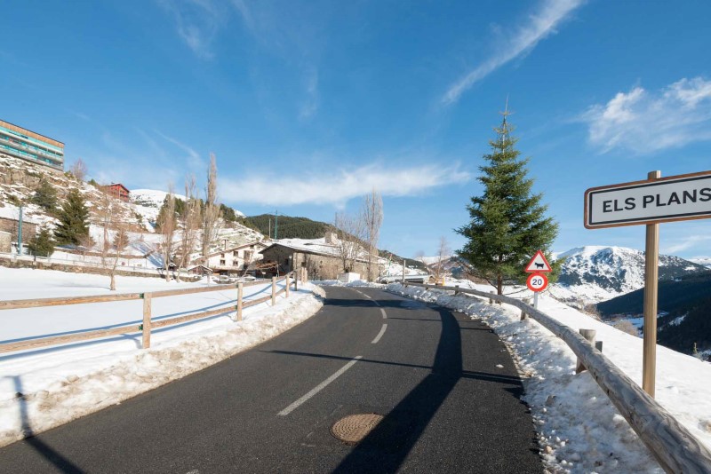
Els Plans is another of the towns of the parish of Canillo (Andorra). It is located in the valley of Ransol. Els Plans is also part of the set of small villages that are distributed around the sector of El Tarter de Grandvalira. It is located at 1,826 meters above sea level, specifically on the sunny side of the mountain.
To reach this town, which by the end of 2017 had a population of 17 inhabitants (data collected by the Department of Statistics del Gobierno de Andorra) of the Government of Andorra), we follow the CG-2 road from Canillo towards France. Before arriving at the parking lot of El Tarter, we take the turnoff to the left (CS-260), which goes up to the neighboring village of Ransol. Once in Ransol we find a crossroads, we continue by the road to the left (CS-261), crossing the Coma River. Once there, we continue along the asphalt road, leaving behind Ransol. It is located just 1 km away. We must follow the path that winds. To our left, there are fantastic views of the Ransol Valley.

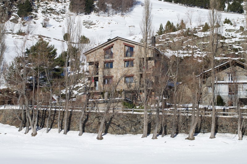
After driving a little more than half a kilometer, we will see that the road begins to gain height by making zigzags until reaching the town. The path, surrounded by fields, will make us feel the peace and quiet that characterizes Els Plans. Once we reach the village we will see the typical rustic houses of these mountain villages.
One of the prominent places that can be visited in Els plans is the Cabana de la Vall del Riu Refuge and the Vall del Riu Lake. This distinguished refuge has capacity for 10 people in the absence of a guard. To get there, we will have to follow the route on foot for about 2 hours, following the Els Plans path until reaching the refuge, with a gradient of 750 meters. It is a stone building built in 1981 with bunk beds and a water spring on the outside. The level of difficulty of the route to the refuge is medium-high with a gradient of 390 meters.
To the right of the refuge the path goes on; hereon the gradient increases quite a while. We pass through a small incline and we cross the Comarqueta d'Incles river again. Shortly after we reach the Pleta de la Cabaneta area, where the La Comarca de les Fonts river goes down straight across the valley.
Once in the sheepfold, on the left we face the tough gradient of the incline that precedes the lakes. It is the steepest gradient. In a short time we ascend and reach the first lake and, a little further on, the second. We follow the road that goes to the right, we overcome a small hill an we see the majestic views of the Great Lake of the River Valley.
Leisure and tranquility in the town of Els Plans
In addition to enjoying the peace and tranquility of this town, in Els Plans you can enjoy different leisure activities, as it is a perfect place for those who love snow and mountain sports.The golf course at the highest altitude in all Europe is within less than 8 minutes away by car from Els Plans. The facilities, designed by the prestigious British architect Jeremy Pern, have a total area of 16 hectares. Another of the singularities of this golf course, which opens only during the summer season (from July to September) is its accessibility, since very few golf courses are connected by a 8-seater cable-car. The golf course also has a training centre, professional instructors and club house.
Another remarkable place that we can visit if we want to enjoy a fun day with the family and which is just 10 minutes away by car is the karts circuit designed by Marc Gené. Marc Gené's Karting is the first installment of this kind that was created in Andorra. In total, 650 meters of asphalt circuit located in the parking lot of El Tarter, where motor lovers can experience the sensations of a real Formula 1 pilot.
The most featured sites in Els Plans and the outskirts
- Ransol Valley At 1,955 meters high there is Coma de Ransol. With an extension of more than 4 kilometers, Coma de Ransol is a grazing area for the beef and rounded cattle (an indigenous livestock species). Magnificent views on the Mil Menut, the Coll de Jan and the Ransol summits can here be enjoyed. In addition, Coma de Ransol is a starting point for many hiking excursions, most of which have a rather low degree of difficulty. In this way, from this plae you can start different itineraries that lead to discover such beautiful places as the Coms de Jan Refuge, the Collada del Jan, the La Mil Menut summit, La Serrera, the La Cabaneta summit or the Coma summit, among others. The valley is also a hunting ground where various animal species can be observed. For these reasons, the Ransol Valley is currently one of the most beautiful natural surroundings of the Principality, a characteristic that makes it, without a doubt, a place to visit.
- Hiking: La Serrera Mountain: the Serrera summit stands out for being one of the 6 highest peaks of Andorra. Very frequented during the seventeenth century as a way of exploring the iron mines of the country, the path towards this summit begins on the Coma de Ransol road. In order to find the starting point, you must cross the vilage, skirt a stone wall and ascend the mountain following the Meners river until reaching the Clots de la Llosa fountain. A little further up, we will cross the river. Then, after a few zigzags, we will reach a fake pass.
- The path gently remounts to a meadow area. Here, on the right, we will see the Estanyó and La Cabaneta summits. The trail rises gently again towards the Coll de la Mina, also known as the Collada dels Meners, until reaching the summit at 2,724 meters high. When reaching this point, the best to do is enjoying the incredible views offered by Pic de la Serrera towards the Ransol valley, the Sorteny valley with the La Cabaneta summit and the Estanyó valley.
- Coma de Ransol Cycle Route: this itinerary, which begins at the roundabout on the CG-2 just before reaching El Tarter, connects the village of Ransol with Cóms de Jan. In the same way, this route goes across all the Coma de Ransol CS-260 road. Regarding the starting point, it is at 1,664 meters high and ends at 1,944 meters high. It also has a gradient of 6.2% and a distance of 4.5 kilometers, in which majestic views of the entire valley can be observed.
Your real estate agency in Els Plans

If you have already decided that you want to settle in Andorra and you are interested in residing in the vilae of Els Plans or in another village in the parish of Canillo, we recommend you check our webpages to buy a flat or buy a house in the different villages that are located in the northeast of the Principality.